




- 5
- 20.05.2023 14:02:00
- 2 min read
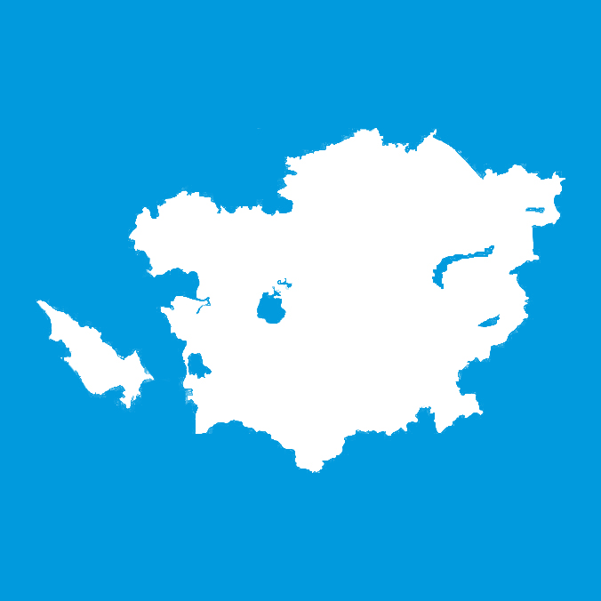
The government spent 56 million tenge (about $125,000) to create a new political and administrative map of Kazakhstan. The representatives of the Ministry of Digital Development, Innovation and Aerospace Industry of the Republic informed about this at a briefing, Informburo reports.
According to officials, this sum was used to update the geographical maps of six regions, plans of regional centers and the general political map of the country.
According to the deputy head of the ministry Aset Turisov, after the establishment of three new regions in 2022, the ministry was tasked with updating the political map of Kazakhstan and the thematic maps of six regions, which are: the newly established Abay , Yettisuv and Ulitov regions, as well as Almaty, East Kazakhstan and Karaganda regions, whose borders have changed.
"Our colleagues, who did a lot of work, finally created a political and administrative map of Kazakhstan on a scale of 1:1,500,000. Maps of Karaganda, Almaty regions and East Kazakhstan regions have been updated, maps of Abay, Yettisuv and Ulitov regions have been created on a scale of 1:1,000,000. Also, 1:25,000 scale plans of cities such as Karaganda, Semey, and Ust-Kamenogorsk and 1:10,000 scale plans of Jezkazgon, Konayev, and Taldykorgan were updated and created," said Turisov.
Asimov, the deputy chairman of the Geodesy and Cartography Committee of Kazakhstan, explained the main difficulty in creating a new map with the tight deadlines.
"There is no such thing as an easy job, there will certainly be difficulties. We had strict deadlines, but despite this, with the help of our specialists, the specialists of the enterprise attached to the institution, the maps were filled in on time and presented to the client," said the official.
Turisov, in turn, noted that during the process of drawing up the map, the committee's staff traveled almost all over the country and collected all archival data.
“These are not ordinary maps. Their accuracy is very important, because there are lakes, mountains, forests, so they need to be shown geographically, so that the border regions understand where they end. We have a whole committee, there are sub-organizations, which are a big fund of cartography. Recently, we adopted a law regulating many norms, which gave impetus to the development of the industry," concluded Turisov.